



- sales/support
Google Chat:---
- sales
+86-0755-88291180
- sales01
sales@spotpear.com
- sales02
dragon_manager@163.com
- support
tech-support@spotpear.com
- CEO-Complaints
zhoujie@spotpear.com
- Only Tech-Support
WhatsApp:13246739196
- Purchase/Shipping/Refund
WhatsApp:13424403025
- HOME
- >
- PRODUCTS
- >
- ESP32 Series
- >
- GPS-GMS
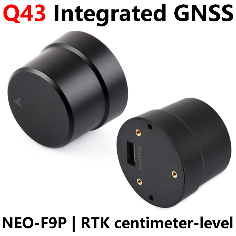
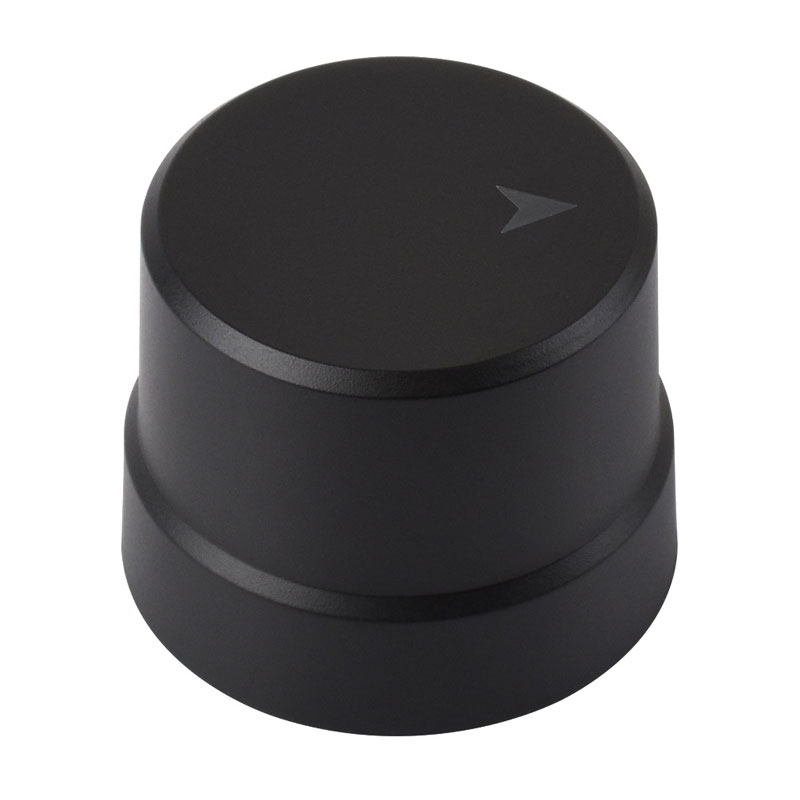
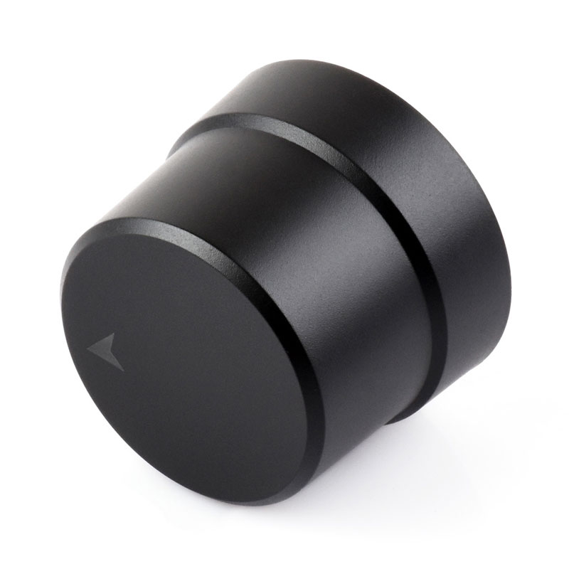
Raspberry Pi GNSS Expansion Board Q43 Helical RTK Centimeter-Level Positioning NEO-F9P-15B GPS GLONASS Galileo BDS QZSS NavIC For Jetson ESP32 Arduino
$229.99
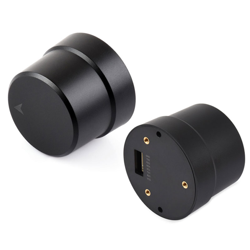
Q43 Helical Antenna RTK Centimeter-Level Positioning GNSS Module Based on NEO-F9P-15B Multi-Satellite Multi-Band Built-in Geomagnetic Sensor
Helical antenna RTK
Centimeter-level positioning GNSS module
NEO-F9P-15B | RTK Centimeter-level | Built-in Geomagnetic Field
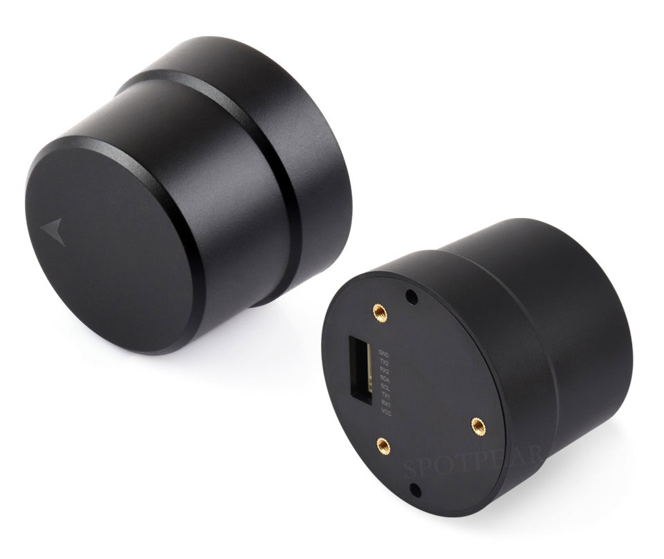
Product Features
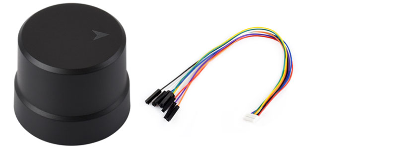
The Q43 NEO-F9P GNSS Helical RTK Module is an integrated RTK smart positioning antenna module based on the u-blox NEO-F9P-15B, integrating a high-precision RTK positioning engine, a helical antenna, and a geomagnetic sensor into a compact structure. The module supports multi-constellation, multi-frequency GNSS signal reception (GPS, BeiDou, GLONASS, Galileo, and QZSS), possessing dual-frequency RTK centimeter-level positioning capabilities. It provides stable and reliable high-precision positioning performance, suitable for applications such as intelligent robots, the sharing economy, precision agriculture, engineering surveying, handheld terminals, and vehicle navigation.
- Based on the u-blox NEO-F9P-15B high-precision positioning module, it supports dual-frequency RTK centimeter-level positioning.
- The RTK positioning engine and helical antenna are integrated into a single design, resulting in a compact structure, easy installation, and suitability for integration.
- Built-in three-axis geomagnetic sensor, suitable for compass, electronic compass and heading aid applications.
- Multi-satellite and multi-frequency support, including GPS, BeiDou (BDS), GLONASS, Galileo, and QZSS satellite systems.
- Supports A-GNSS assisted positioning, which can shorten the initial positioning time through auxiliary data.
- Supports enhanced systems such as WAAS, EGNOS, GAGAN, and QZSS SBAS.
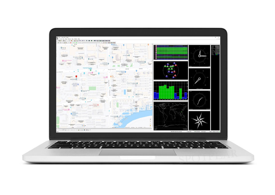
- Supports u-center software configuration, facilitating the setting of output protocol, update rate, and RTK working mode, among other functions.
- Wide input voltage design, operating voltage range 3.3V ~ 16V, adaptable to various power supply environments.
Product Parameters
| Antenna parameters | signal frequency band | GPS: L1/L5 BDS: B1I/B1C/B2a GLONASS: G1 Galileo: E1/E5a QZSS: L1/L5 |
|---|---|---|
| Characteristic impedance | 50Ω | |
| polarization mode | RHCP | |
| Coverage | 360° | |
| Peak gain | 2.5dBi | |
| Standing Population Ratio (VSWR) | ≤2 | |
| Shaft ratio | ≤3dB | |
| Amplifier parameters | Gain | 23dB |
| Noise figure | 1.5dB | |
| Output VSWR | ≤2 | |
| System parameters | Positioning module | NEO-F9P-15B |
| Geomagnetic sensor | QMC5883P | |
| Operating voltage | 3.3V ~ 16V | |
| Power consumption | 500mW | |
| PVT Positioning accuracy | Horizontal direction: 1.5m | |
| vertical direction: 2.0m | ||
| SBAS Positioning accuracy | Horizontal direction: 1.0m | |
| vertical direction: 1.5m | ||
| RTK accuracy | Horizontal direction: 1cm + 1ppm | |
| vertical direction: 1cm + 1ppm | ||
| Time precision (root mean square value) | 30ns | |
| Speed accuracy (root mean square value) | 0.05m/s | |
| Cold start first positioning time | <30s | |
| Initialization time | <5s (Typical value) | |
| Initial reliability | >99.9% | |
| Data update rate | 25Hz (Max) | |
| Data format | RTCM 3.3; SPARTN 2.0.1 | |
| Other parameters | Communication interface | I2C,UART (9.6k ~ 921.6kbps def 38.4kbps) |
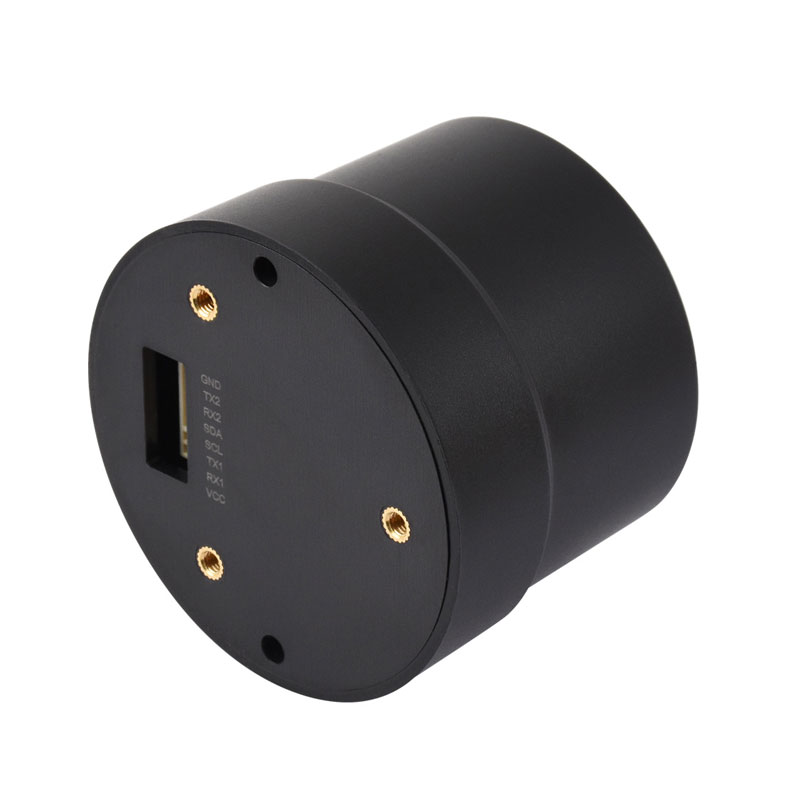
| physical interface | GH1.25 8PIN | |
| Operating temperature range | -40℃ ~ +85℃ | |
| Storage temperature range | ||
| humidity | ≤95% | |
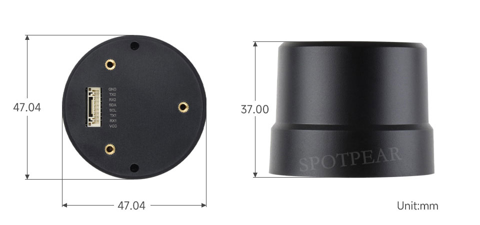
| size | 37.00 × Φ47.04 (mm) |
RTK mobile station, RTK base station
Centimeter-level positioning
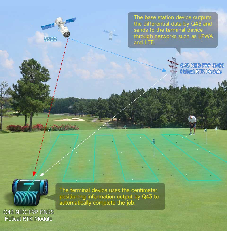
The two Q43 NEO-F9P GNSS Helical RTK Modules can be used as an RTK base station and a rover, respectively.
With known fixed ground coordinates, the Q43, set to base station mode, can build a continuously operating reference base station and output differential correction data. Alternatively, it can purchase and access RTK ground-based augmentation services to send differential correction data to the Q43 rover that uploads approximate location information via the network. The rover terminal can perform real-time calculations and converge quickly under error environments such as multipath, ionospheric and tropospheric refraction, achieving centimeter-level positioning within seconds.
Supports concurrent reception of multiple satellite systems
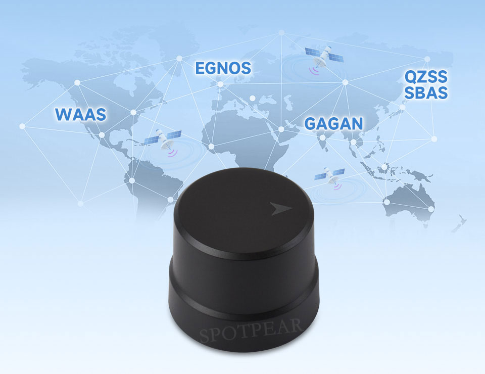
Supports multiple satellite systems including GPS, BeiDou (BDS), GLONASS, Galileo, and QZSS.

Supports multiple SBAS satellite-based augmentation systems
It can achieve multi-satellite augmentation positioning and real-time error correction, significantly improving positioning accuracy and reliability in complex environments. This product supports augmentation systems such as WAAS, EGNOS, GAGAN, and QZSS SBAS.
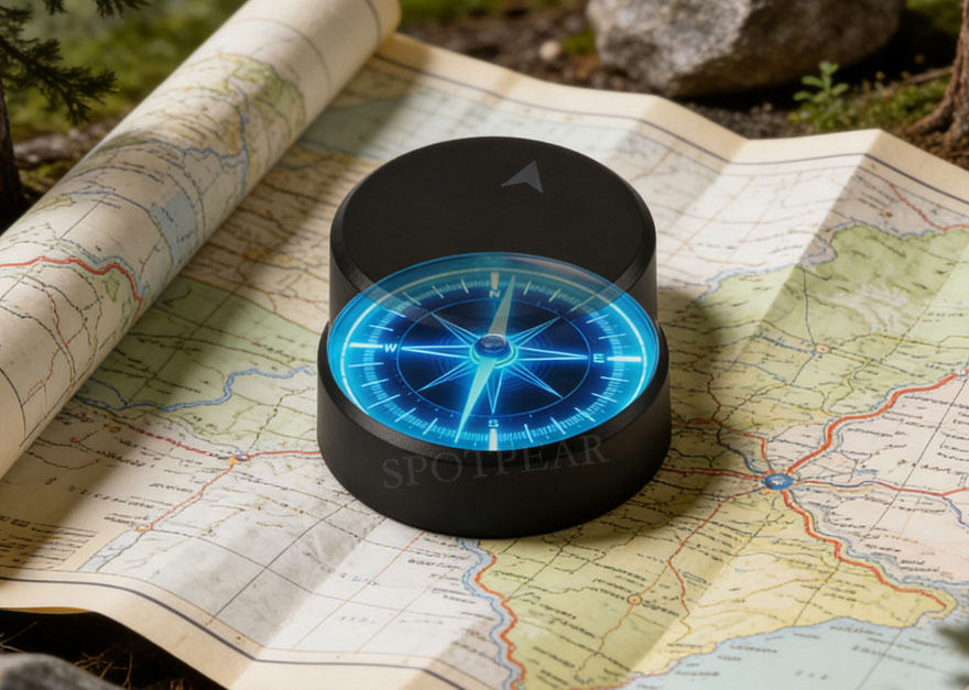
Built-in triaxial geomagnetic sensor
Suitable for compass, electronic compass and heading aid applications
Suitable for multiple programming platforms
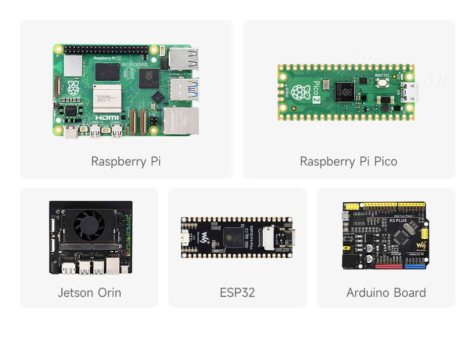
Provides sample programs and user manuals for Raspberry Pi / Raspberry Pi Pico / Jetson Orin / ESP32 / Arduino, making development and integration easier and offering strong scalability.
Supports U-Center software
Conveniently configure various functions of the module
Application scenarios

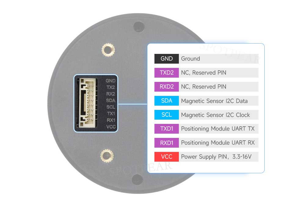
Pin Definitions
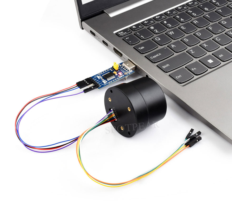
Hardware connection reference
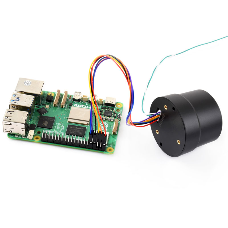
It can be connected to a PC/Raspberry Pi/Jetson Orin series motherboard via a USB to serial adapter module.
It can be connected to motherboards such as Raspberry Pi, Raspberry Pi Pico, Jetson Orin, ESP32, and Arduino via the GH1.25 interface.
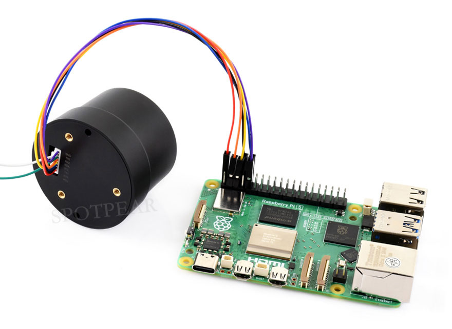
The image is for illustrative purposes only. This product does not include a Raspberry Pi 5 or a USB to UART serial port module.